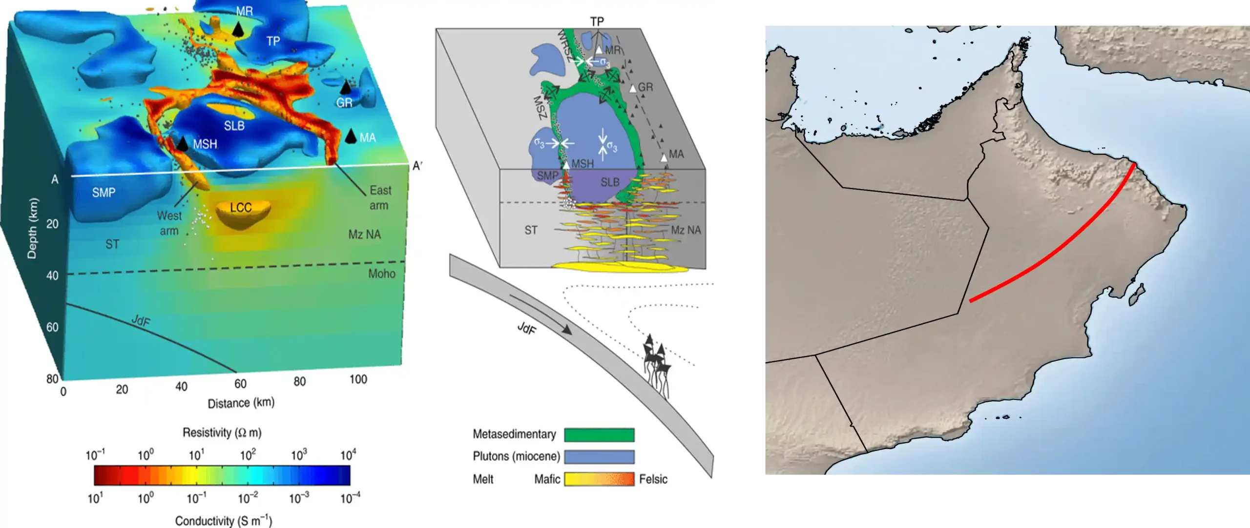
This ongoing project focuses on applying magnetotelluric (MT) surveying, an electromagnetic method that uses natural variations in Earth’s geomagnetic and geoelectric fields to map subsurface electrical conductivity. By analyzing how these natural signals propagate through different geological layers, the research provides valuable insights into deep structures, fault zones, fluid pathways, and potential resource-bearing formations. The project strengthens Oman’s capacity for advanced geophysical exploration and supports improved understanding of the country’s complex subsurface architecture.